How it works
From raw land to the perfect vision
We take any quality aerial or topographic photo and use the lay of the land (topography, slopes, road access and local flora) to imagine the right home for each parcel.
What we receive
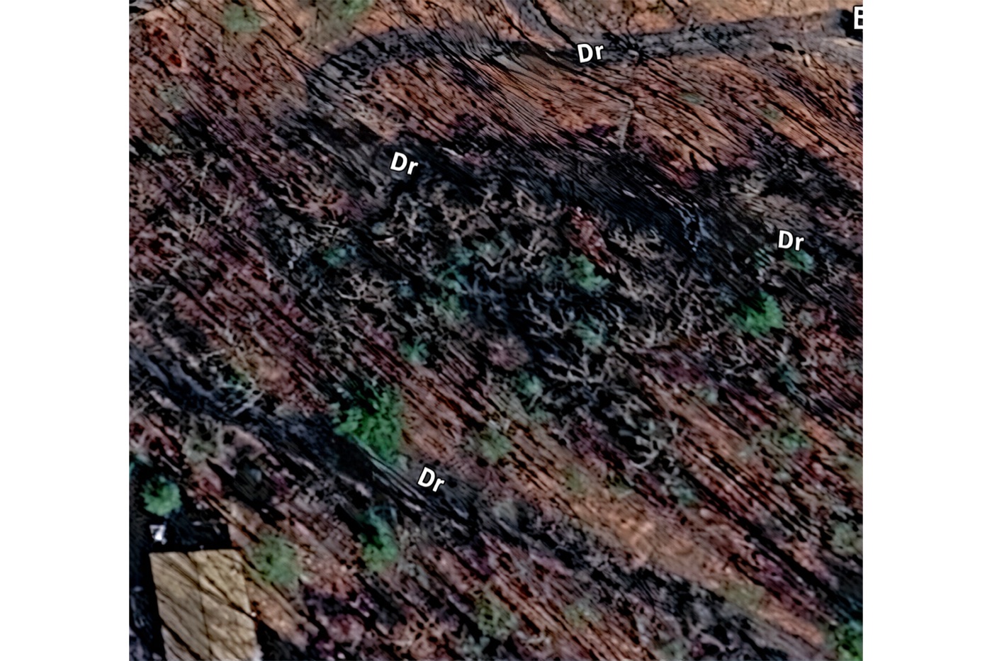
A high-resolution topographic aerial showing the parcel's terrain, road access and existing vegetation (above). Every project starts with a close read of the land itself: elevation contours, natural drainage, tree lines, sun exposure and existing access.
What we create
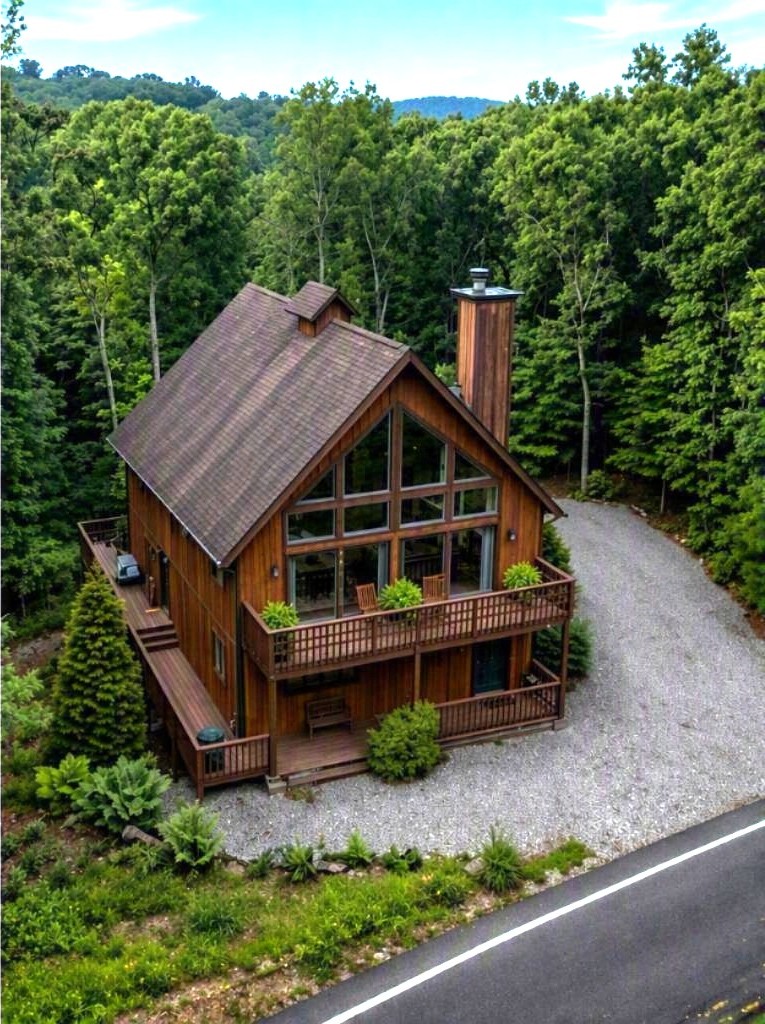
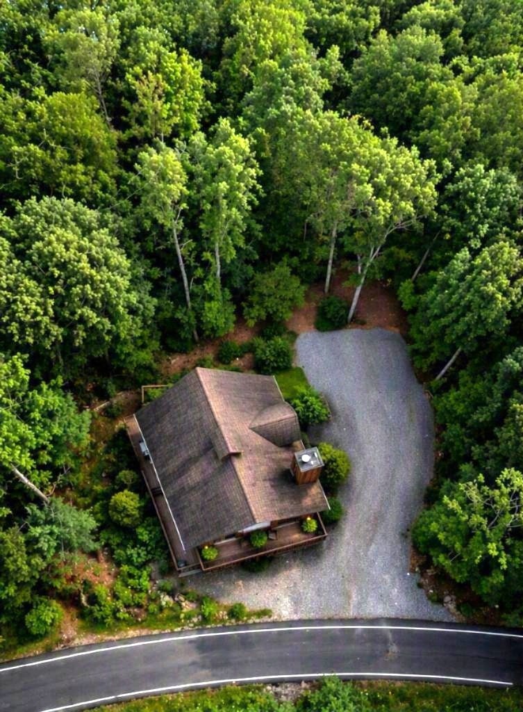
A site-specific A-frame design, rendered from two perspectives (the street-level approach and the overhead site plan) and tailored to the natural contours of this exact parcel (below). No two parcels are the same, and neither are our renderings.
The steps
- Intake and scoping: we review your project details and confirm the scope, deliverables and timeline.
- Materials review: we work from your site plans, surveys or other documents. No site visit is required.
- First draft: you receive your first rendering for review.
- Revisions: we incorporate your feedback through up to two revision rounds.
- Final delivery: your finished rendering, in the formats you need.